

Denver Skylines and Neighborhoods Photos
Other Metro Area Skylines and Neighborhoods Photos
Englewood Photos
New Downtown Denver Projects
New LoDo/Central Platte Valley Projects
New Cherry Creek/Glendale/Colorado Blvd Projects
New Highland Neighborhood Projects
New Ballpark/Curtis Park Projects
New Golden Triangle/Capitol Hill Projects
My Favorite Skyline Pictures From Around The World
|
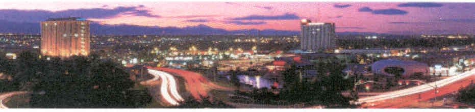
Englewood This inner-ring suburb of approximately 33,700 includes a historic downtown on Broadway, as well as a new city center area adjacent to the Englewood light rail station. The downtown skyline is defined by two 10 story buildings developed in the late 1960's. (Click on a pic for a larger image) |
|
|
Englewood Skyline Looking west at sunset. |
 |
|
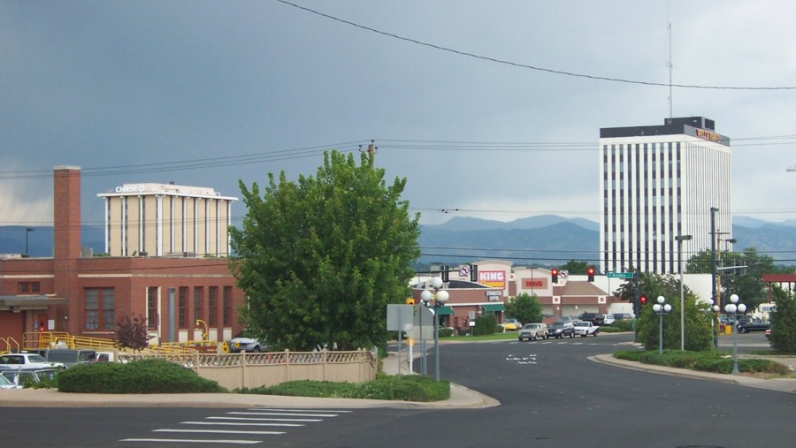
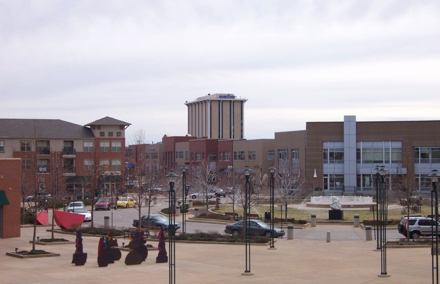
Englewood Skyline Another view of the City's two tallest buildings. |
 |
|
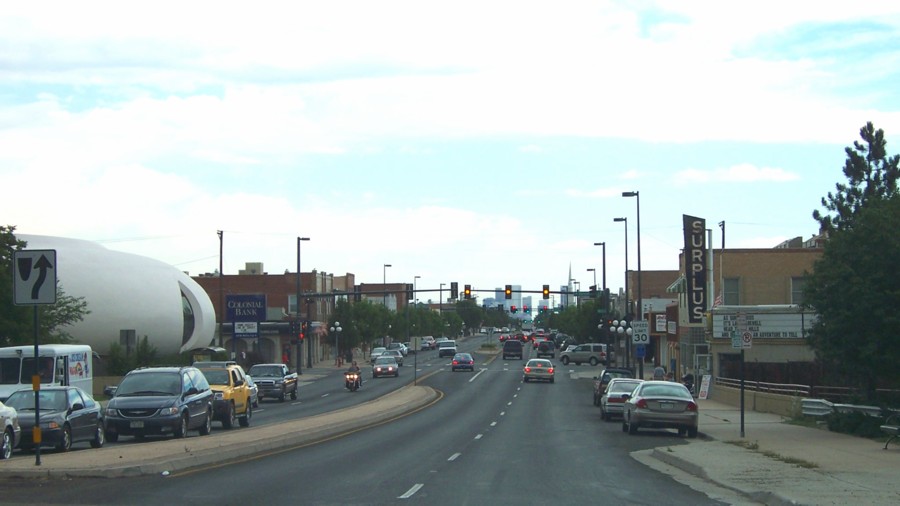
Englewood The original downtown area on Broadway. |
 |
|
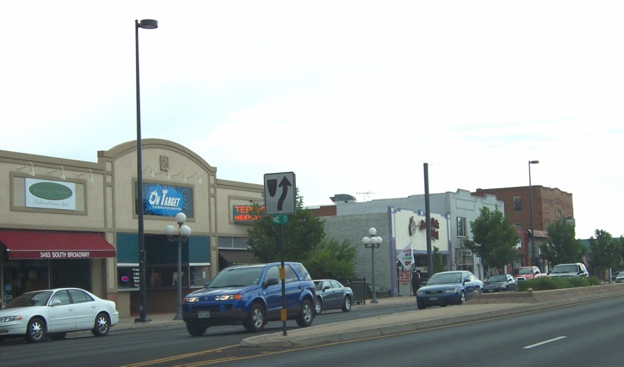
Englewood Another view of the City's original downtown area. |
 |
|
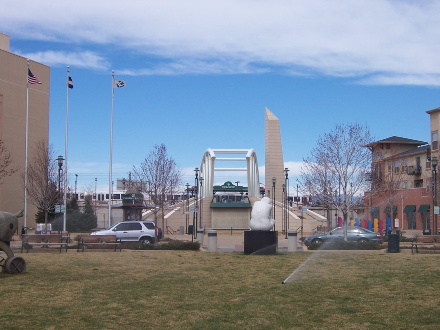
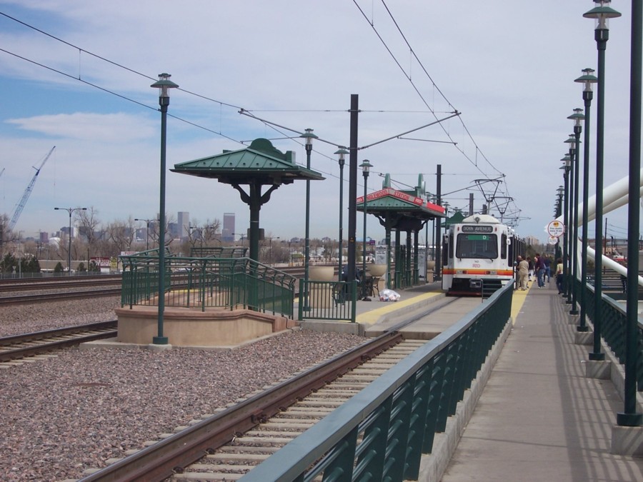
Englewood City Center The Englewood LRT Station from the central plaza. |
 |
|
Englewood City Center The central plaza from the adjacent light rail station. |
 |
|
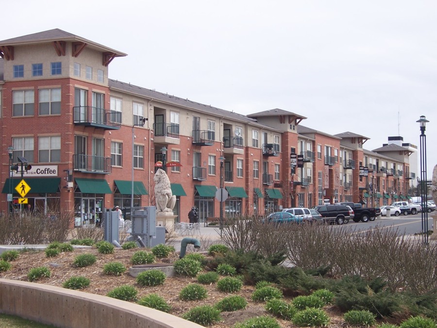
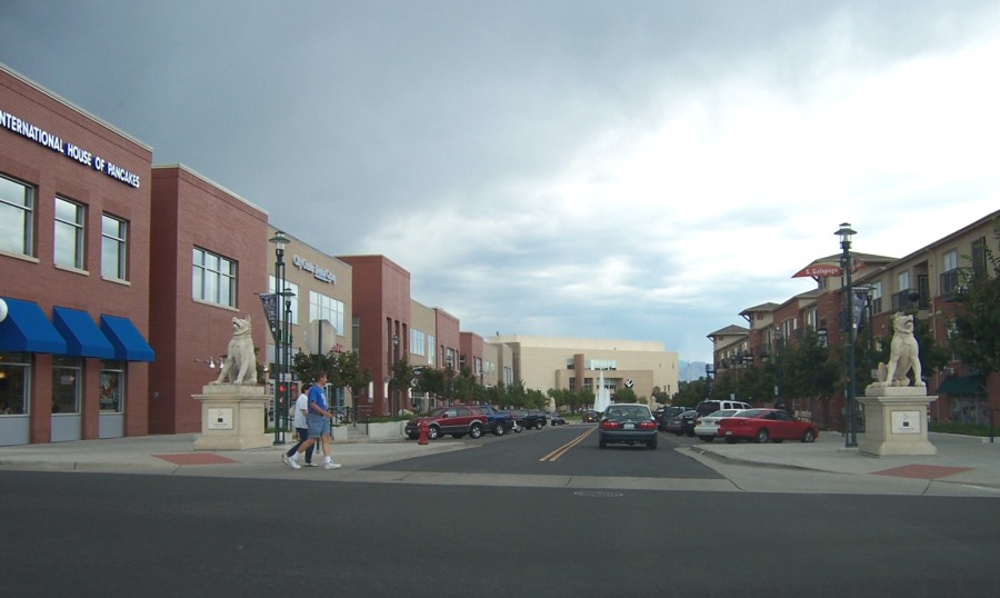
Englewood City Center Englewood Parkway in the City Center. |
 |
|
Englewood City Center Another view of Englewood Parkway in the City Center. |
 |
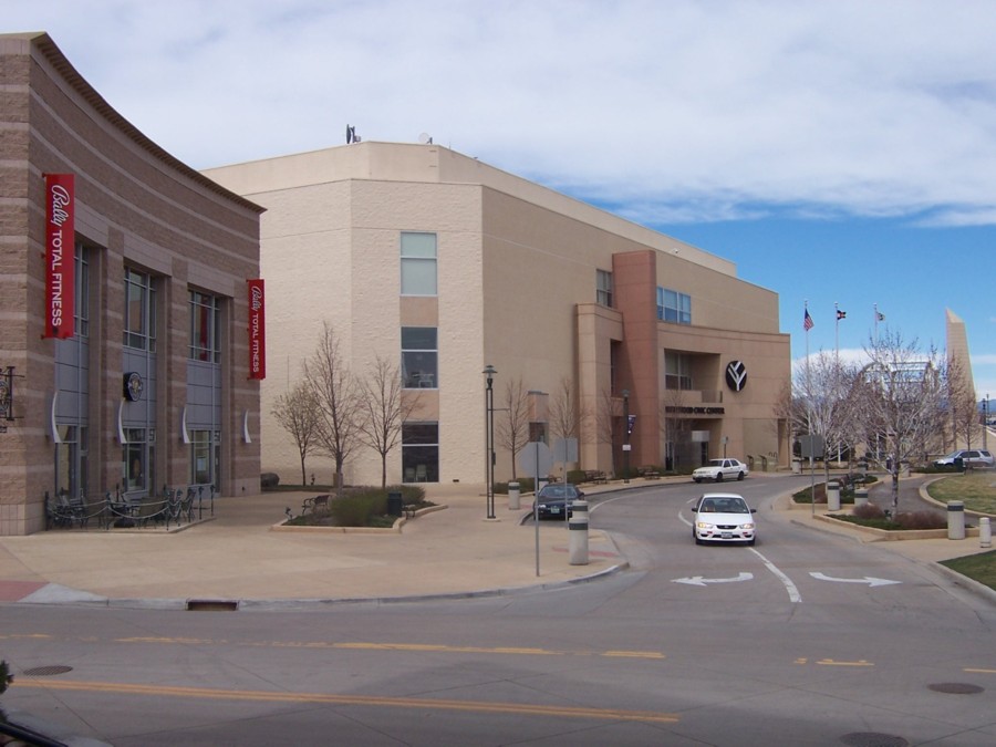
| Englewood City Center City Hall in the center, the light rail station to the right, and retail/office to the left. |
 |
|
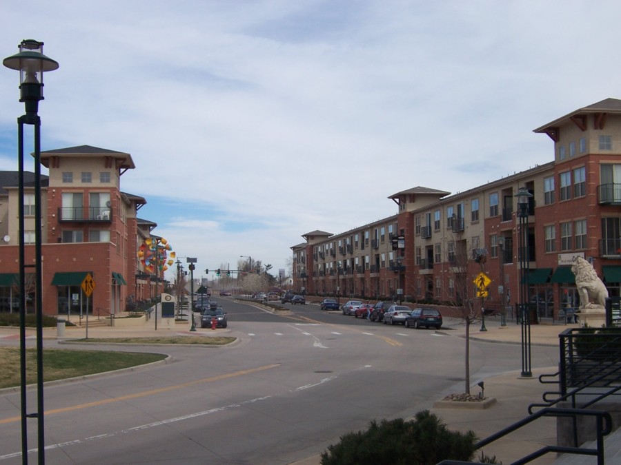
Englewood City Center A view looking west on Englewood Parkway. |
 |
|
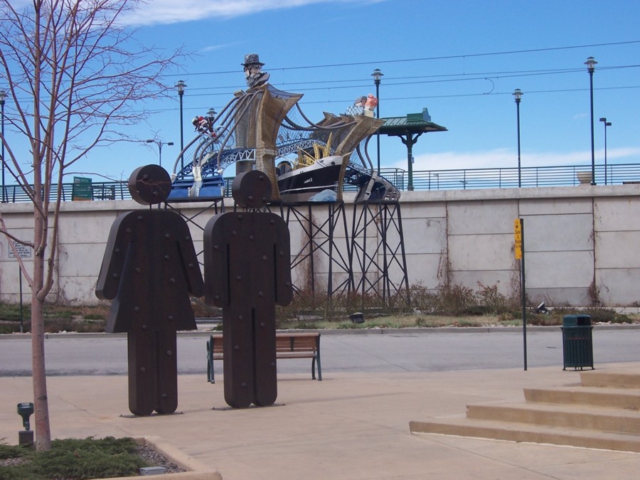
Englewood City Center Public art around the central plaza. |
 |
|
Englewood City Center The light rail station with downtown Denver in the background. |
 |
